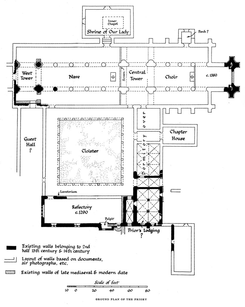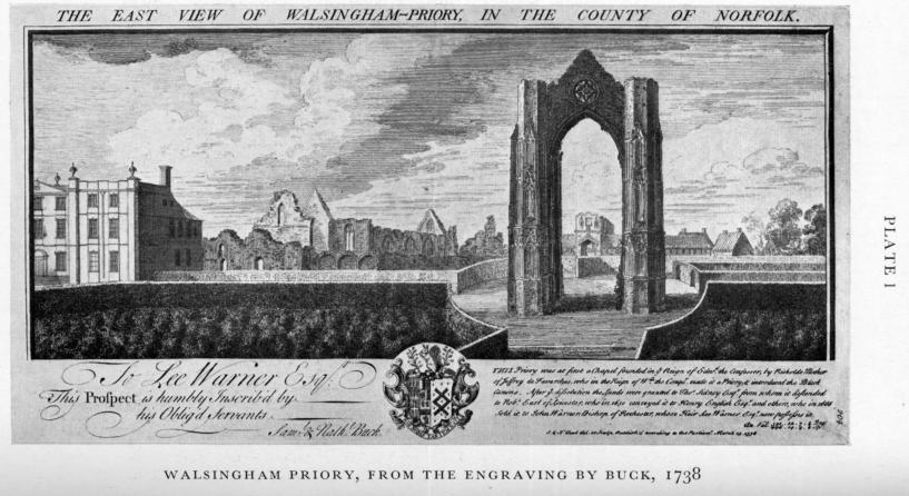


In 1955 the main sewer system was installed at Walsingham. Our local historian H A Bond has recorded all walls,
graves and conduits found during the trenching for the main drainage to "Abbey House", but little attention was given
to the areas outside the "Abbey House" grounds.
I was 15 years old at the time and spent several hours walking the side of the trenches looking at the soil removed
and in so doing discovered several small finds which I thought of interest, some of which were given to the Castle
Museum in Norwich. It was while walking along the trench by the Anglican Shrine I noticed the digger had uncovered
a section of wall which my notes say was at least 2ft. thick the top of which was approximately four and a half feet
below the surface of the road. Although only a short length had been uncovered it seemed to run North parallel with
what was then the Shrine Courtyard wall. I thought it best to bring this to the notice of the two people I knew would
be interested - the Rev. Hope Patten and Mr. Arthur Bond. I was able to find the Rev. Hope Patten and he came to
look at it and was of the opinion it was part of the Priory precinct wall but was it? I was unfortunately unable to find
Mr. Bond and the trench was subsequently backfilled so he did not see it. Some time later I mentioned the wall I had
seen to him. He was of the opinion it was probably a section of wall which had fallen from the precinct wall which he
thought ran West towards the main street and I had mistaken this for a base of a wall. I did not agree with him.
Obviously we could not both have been right - either the wall runs West along Bond's presumed course or it turns and
runs North.
In 1935 some work was done to try to plot the remains of a wall which ran through the Anglican Shrine grounds and
was thought possibly to be part of the boundary wall of the Priory circa 1320. A brief description of the work is given
in a booklet called “England’s Nazareth” which is still on sale at the Shrine.
In 1956 Bond produced a paper on his findings called “Walsingham Topography” with his presumed course of the
boundary wall as previously described. Bond’s suggested route seems to have been adopted by most people as being
the most likely route of the Priory perimeter wall.
Many years later some old photographs of Walsingham came into my possession. Most were of old pilgrimages to the
Anglican shrine during its early days. I did nothing with them until I heard that it was intended to have an Archives
Room in the new Visitor Centre and historical information for this was needed.
On sorting through the pictures I found that some were of the clearance of the ground and building of the Shrine
Church. One of the photographs (Figure 1 below) shows the end of the old Barn (which is now called the Pilgrim Hall.
It also shows the remains of a substantially built wall running East/West across the site. Another picture (Figure 2
below) shows the wall cut through during the digging of the footings for the northeastmost end of the shrine church
(the liturgical East end). Figure 3 (below) shows the wall before the footings were cut showing the demolished wall
flush with the ground.
When plans of the extension to the Stella Maris building and new Visitors Centre became available to view I realised
that work proposed might well uncover yet another section ot the Wall. As I already mentioned, the wall on leaving
Bond’s excavation passes under the existing wall into Knight Street. I have obtained photographs to show that it
passes under the shrine. If I could prove that the wall turned back towards the priory this would leave little doubt that
it is the precinct wall of the priory.
I was informed by the Shrine Administrator that the archaeologists did not know of any archaeology within the area
and were not watching the site. To keep any watch on the site myself in this modern day of Health and Safety
Regulations with barriers and screening would be difficult at best. Fortunately I knew someone who worked for the
Contractors and who was to work on the Walsingham contract so this gave me an eye on site.
The Wall was unearthed on Friday 3rd August 2007 very much close to where I thought it would be judging from the
1935 Map. I photographed it on Monday 6th August (Figures 4 and 5 below) and again spoke to the Shrine
Administrator who promised to contact the Architect to have the find properly recorded.
I sent my information and copies of the photographs to Norfolk Archaeology (Gressenhall). Norfolk Archaeology did, I
was told, visit the site to look at the wall so hopefully the route of the Northern boundary wall of the Priory will have
been properly recorded.
© J B Wells 2009
J Barrie Wells
The new Visitors Centre answers my 54-year-old question
© J B Wells, 2009


